Highways
Services for the public and private sectors
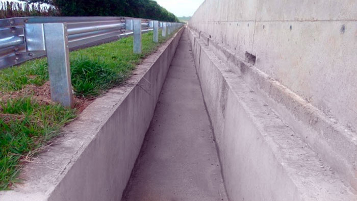
With extensive experience in the Highways segment, EGATI ENGENHARIA & NEGÓCIOS has a varied portfolio of services provided with quality, confidence and expertise. For several years in the market, we monitor thousands of kilometers of highways distributed in the entire territory of Brazil. Technical staff comprises professionals and specialists in the areas of Environmental Engineering, Civil Engineering and Information Technology. We operate in the development of projects and solutions for the public and private sectors according to the needs of each customer.

Services and Solutions
With technology, state-of-the-art equipment, following the strictest quality standards and according to technical criteria of the standards of regulatory agencies, we provide registration, monitoring and reporting services of highway elements.


Environmental Advisory for Highways
With years of experience in the Environmental segment, EGATI ENGENHARIA & NEGÓCIOS has a highly qualified and experienced technical staff, with professionals in the areas of Architecture, Biology, Environmental Engineering, Civil Engineering, Geography and Information Technology. We operate in the development of projects and solutions for the public and private sectors according to the needs of each client.

Services and Solutions
The provision of environmental advisory services for the highways segment covers several activities, such as:
SIGATI
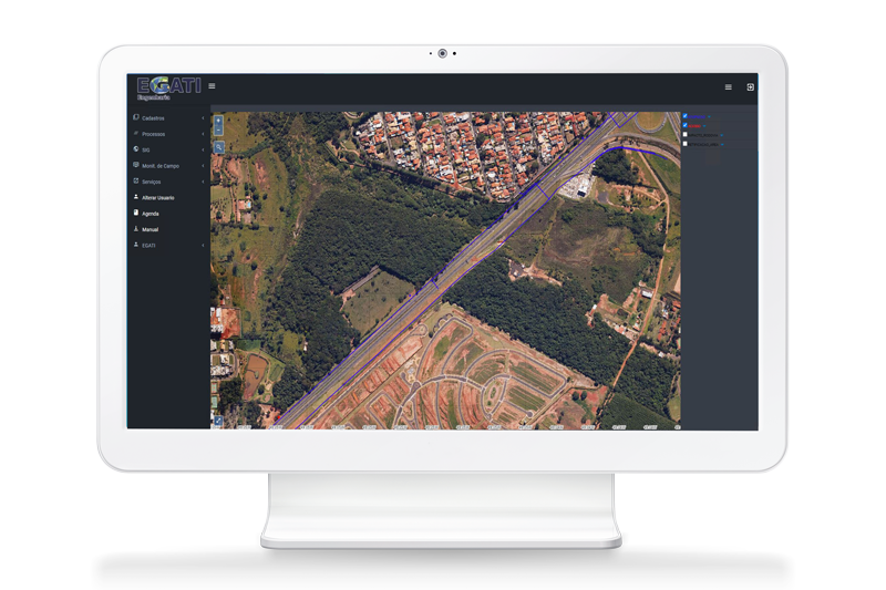
SIGATI is a Geographic Information System (GIS) developed by EGATI ENGENHARIA & NEGÓCIOS that can store and manage data from field survey through a systematic and accurate data collection, with desktop, web and mobile versions. Our team of highly qualified developers constantly works with updates and improvements, in addition to developing solutions according to the specific needs of each client in an agile, effective and quality manner.

SIGATI HIGHWAYS
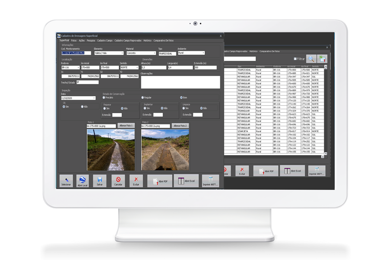
For the highway segment, we offer the SIGATI Highways module, the definitive solution for road management that can provide the full management of physical elements and structures, cataloged with the specific information of each type of element surveyed in the field, including photos and their geographic coordinates. This allows the data management through graphic and tabular files with the attributes of each registered element. In addition to all these features, SIGATI allows the insertion and extraction of other elements (layers) within a compatible vector format, such as shapefile, DXF, TAB and others.

SIGATI ENVIRONMENT
For the environmental segment, we offer the SIGATI Environment module, the essential solution for road environmental management. The system uses geoprocessing technology as a support for the highways environmental information management, which aims a full management of permanent preservation areas, fauna, water resources and environmental occurrences, both in highways and urban areas, with the cataloguing of animal and tree species and the location of their highest concentrations.


